Green Mountain Estates
  • Home
  • About Us
  • Events
  • Gallery
    • 2022 Holiday Light Contest
    • 2022 National Night Out
    • 2022 4th of July Parade
    • 2022 Easter Egg Hunt
    • 2021 4th of July Parade
  • Parks, Trails & Wildlife
  • Neighborhood
  • Schools
  • New Neighbors

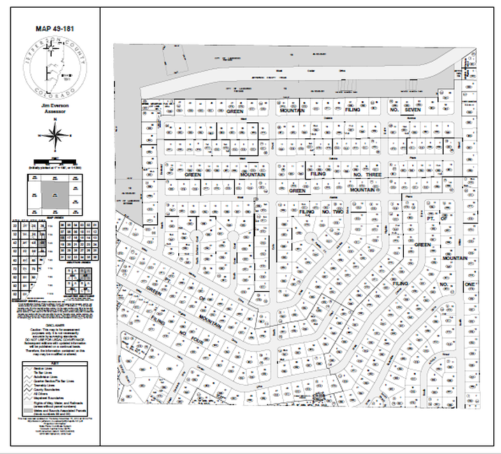
2012-11-15 Jeffco platt map North Half of GMCA Area

The Jefferson County Platt Map below was updated over the years.  This is a pretty recent version updated 11-15-2012.  The most noteworthy matter might be that the platt map still shows the track of Cedar Drive all the way to the west end of  West Dakota Avenue.  It's not know at this writing (8/17/2013) the meaning of the notations "Jefferson County 1762-65" on West Cedar Drive, nor the notations for the City of Lakewood and "Vacated Alameda Park" on the land around the unbuilt West Cedar Drive.

​For the clearest view, download the pdf >>>>>>>
2012-11-15_jeffco_platt_map_north_half_gm.pdf
File Size: 366 kb
File Type: pdf
Download File

Picture
Powered by Create your own unique website with customizable templates.
  • Home
  • About Us
  • Events
  • Gallery
    • 2022 Holiday Light Contest
    • 2022 National Night Out
    • 2022 4th of July Parade
    • 2022 Easter Egg Hunt
    • 2021 4th of July Parade
  • Parks, Trails & Wildlife
  • Neighborhood
  • Schools
  • New Neighbors